
Know where you are—and preserve where you have been
Use the iPhone or iPad location system for live field coordinates, coordinate-grid context, true bearing and background GPX track recording. The workflow supports navigation and mapping-grade context without requiring a network connection.
Device GNSS
Core Location supplies the current device position, altitude, course and speed used by map, readout and PLI workflows.
Three coordinate views
Read latitude/longitude, MGRS and GARS from the same location context in the field.
Background GPX tracks
Log a path as GPX while moving through a project area, including supported background recording.
Use the reference system that matches the job
The map center and GNSS screens provide complementary location context for civilian GIS, survey support and coordinated field operations.
- Decimal latitude and longitude
- Military Grid Reference System (MGRS)
- Global Area Reference System (GARS)
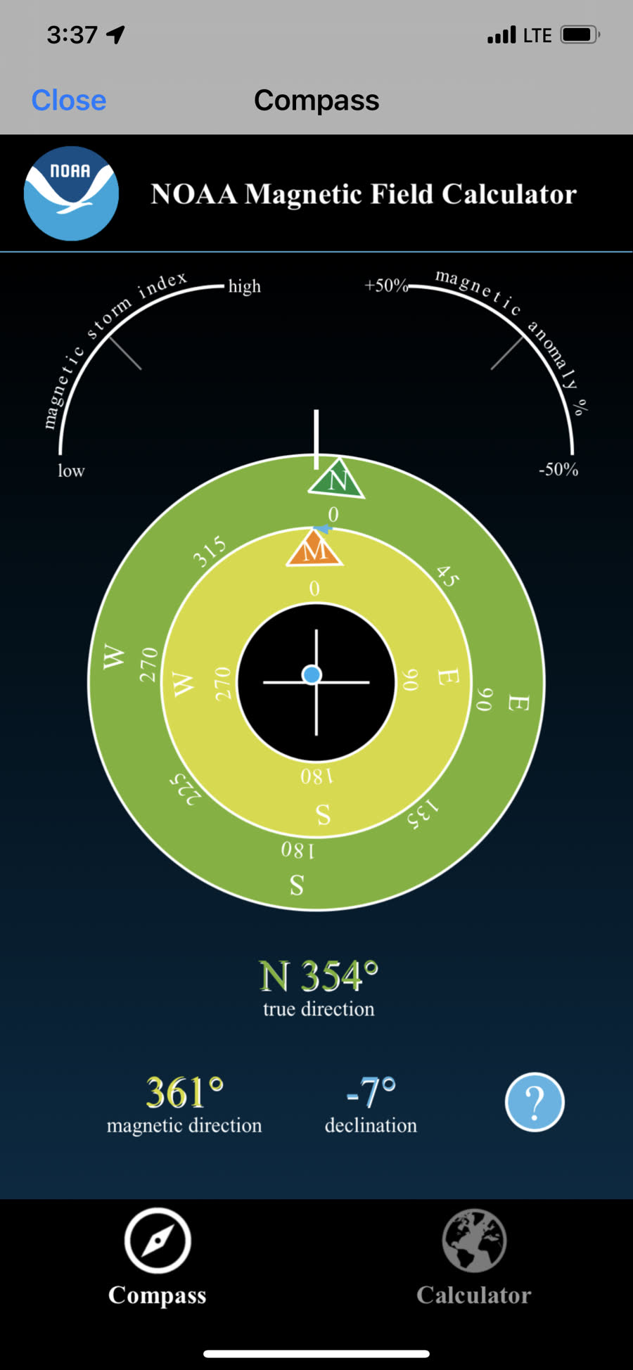
- True bearing readout
- Separate go-to and coordinate-conversion tools
Designed as the next precision-positioning integration
The related MapLibre app repository contains a Bluetooth/NMEA/RTK GNSS module, but that module is not currently wired into either app’s shipping Xcode target. External-receiver support should therefore be treated as an integration track, not a released capability.
Bluetooth receiver
Discover and connect to a compatible BLE GNSS data source.
NMEA observations
Decode receiver position, fix quality and satellite data.
RTK / NTRIP path
Apply correction-stream plumbing where the deployment requires it.
Map & survey UI
Route the selected position source into capture, map and export workflows.
Current release status
The app currently uses device Core Location. No receiver-vendor compatibility is claimed on this page until an external GNSS module is added to the active target and verified on hardware.
Keep a track record of the work
Pair coordinate awareness with offline maps, mapped observations and a GPX history of the route.