

A Field Map that
keeps working beyond
the signal.
Prepare offline map data, navigate to coordinates, capture mapped assets, inspect attributes, log tracks, and build a shared team picture with TAK and Meshtastic—all from one foundational iPhone and iPad app.

Field Data Collector is a TAK-capable field app for a common operating picture, situational awareness and C2/C3 communications.
This promo is 100% free, including features that were previously premium in-app purchases.
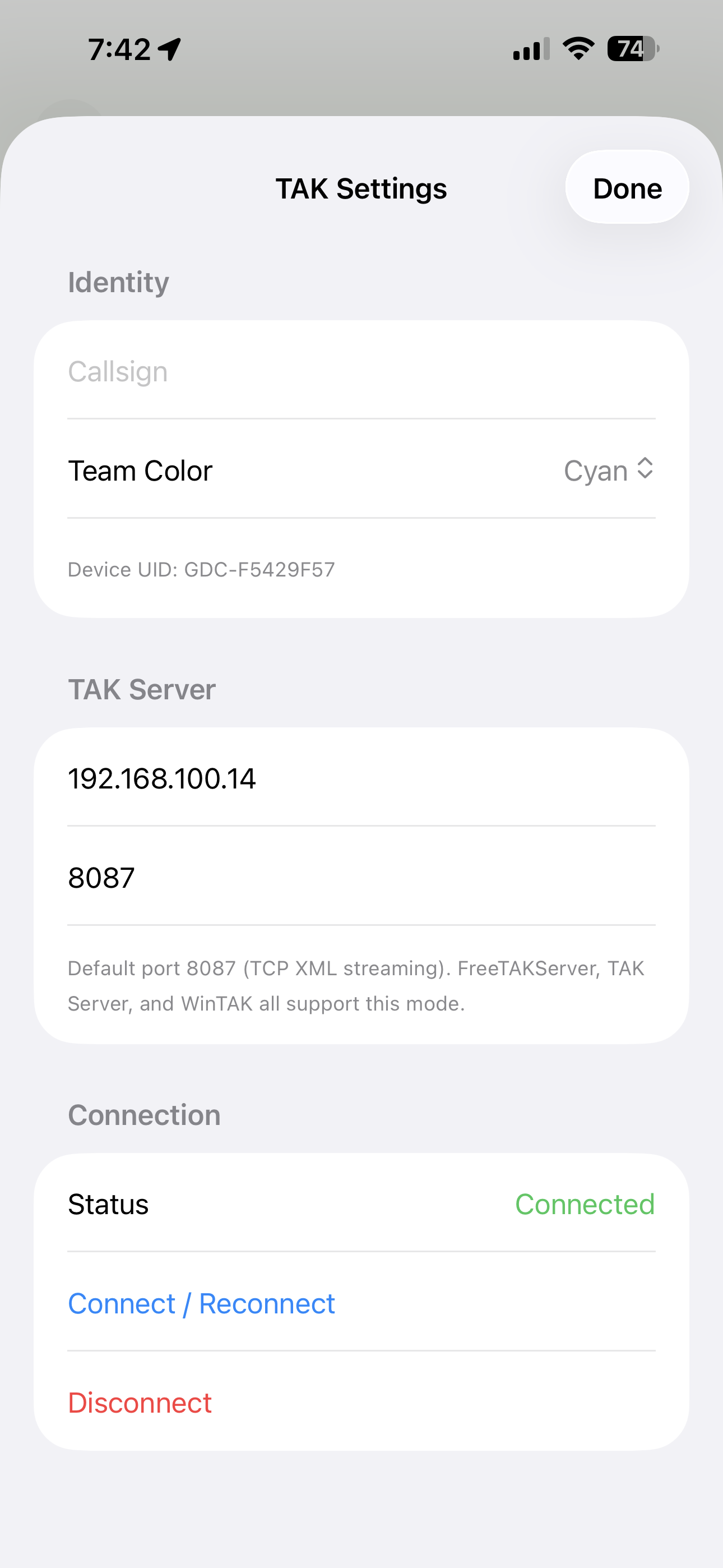
teamtrack.techmaven.net — connect the field picture to Tech Maven’s TAK Server.
Mobile GIS for crews who collect, measure and map
A practical field stack for GIS technicians, land survey support teams, asset inspectors, environmental crews, utilities, emergency operations and anyone who needs dependable geospatial context away from the office.
Offline GIS data
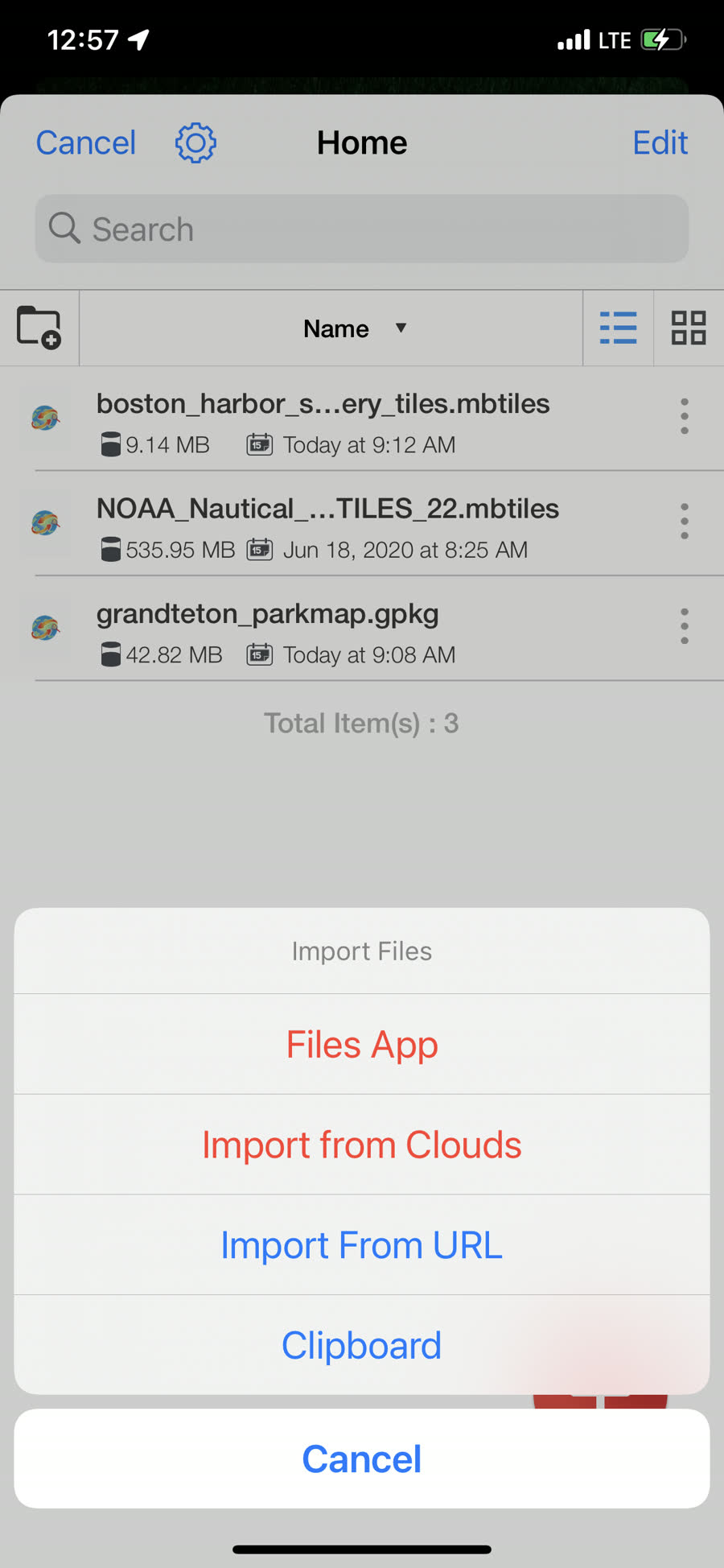
Carry raster and vector MBTiles, GeoPackage, GeoJSON and GPX into low-connectivity work areas—including tile-based paths for massive datasets.
Explore offline mapping → CollectMapped field capture
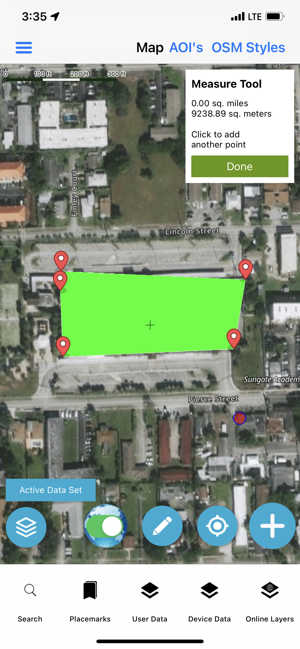
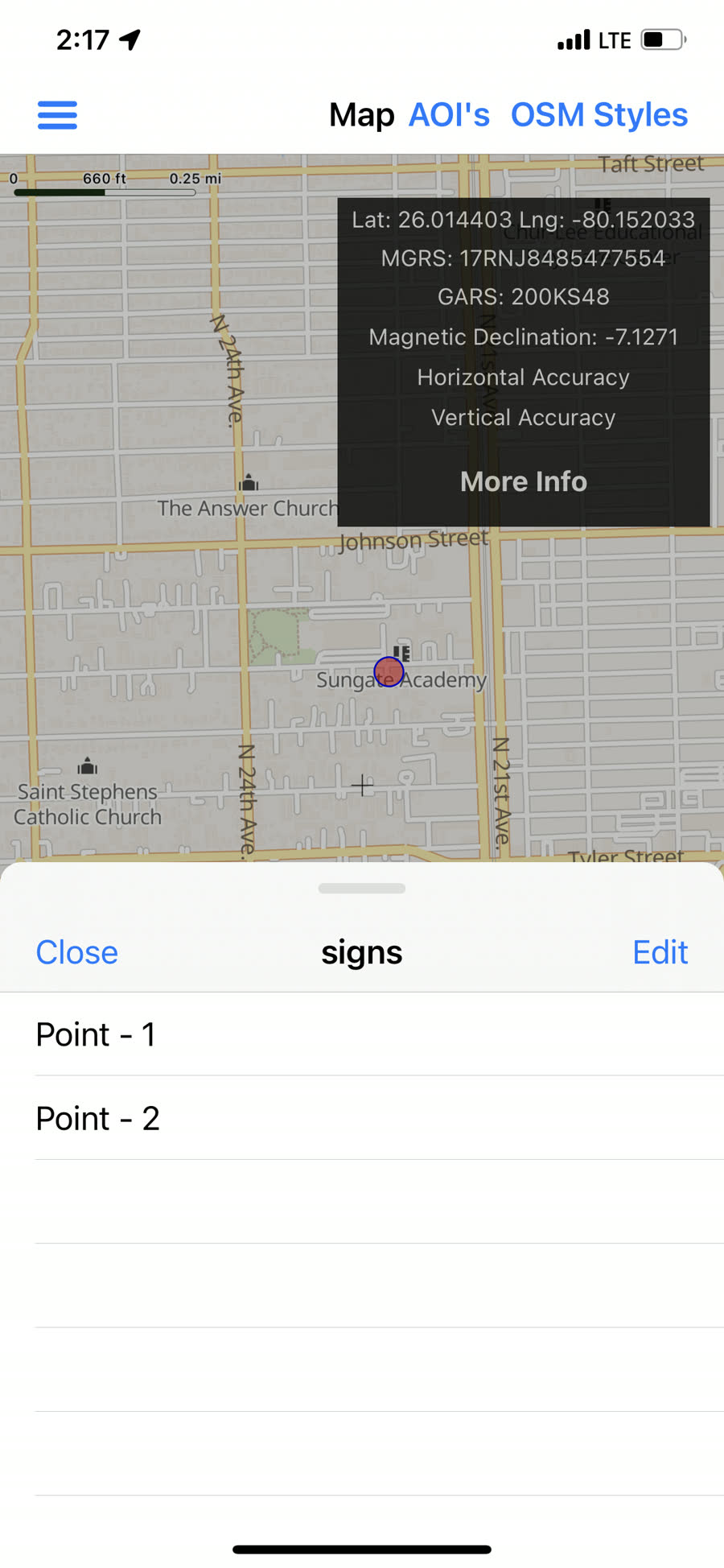
Capture points, lines and polygons with structured forms or fast ad-hoc typed attributes.
Explore capture workflows → NavigateTools & widgets
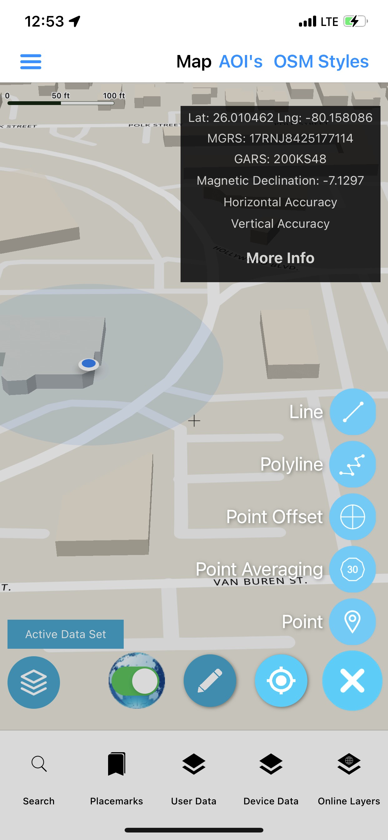
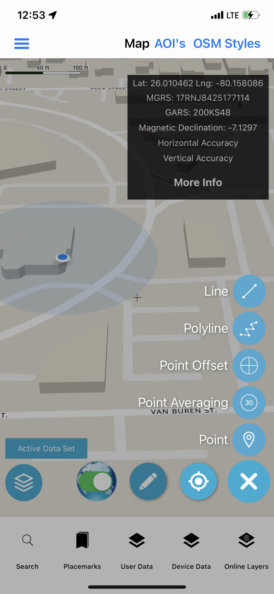
Coordinate tools, layer order, vector conversion, search, weather, scale, compass and field readouts.
Open the toolkit → CoordinateCOP & situational awareness
Bring team positions and marker context into one map-backed common operating picture.
See COP / SA capabilities → CommunicateTAK + Meshtastic LoRa
Use TAK Server when infrastructure is available and a TCP-connected Meshtastic radio for off-grid mesh traffic.
Compare communication paths → LocateGNSS & track logging
Use device Core Location for live coordinate readout and background GPX track recording.
Review positioning scope → InspectAttribute grids
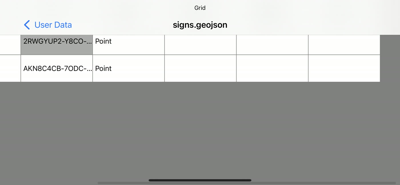
Browse GeoPackage and GeoJSON feature attributes in spreadsheet-style table views.
See data inspection → DeliverTransfer & export
Move field files through supported cloud services, FTP, WebDAV, local Wi-Fi sharing, email and exports.
Explore delivery options → ClipGeoRequest AOI
Draw an area of interest and request packaged MBTiles and GeoPackage data for offline use.
See the AOI workflow →From office handoff to field return
Load the job area
Bring offline basemaps, parcels, reference layers and existing features.
Orient in the field
Use coordinates, device GNSS, compass, scale and go-to tools.
Map observations
Draw geometry, complete typed attributes and log movement as GPX.
Share the picture
View team markers, transfer files and return structured field data.
Your operational map should not disappear with the network
Local files keep the map useful at remote parcels, right-of-way corridors, project sites and incident areas. Mix raster basemaps with vector features, reference grids and track data.
- Raster and vector MBTiles
- GeoPackage raster tiles and vector feature tables
- GeoJSON overlays with attributes
- GPX tracks and waypoints
Large datasets stay responsive because the map asks for tiles
Field Data Collector avoids treating every large source as one giant client-side overlay. It uses distinct tile paths for feature databases, prebuilt vector tiles and cached raster maps.
Vector features
Generate styled raster tiles dynamically for the current zoom and viewport.
Vector caches
Serve local PBF / MVT tiles to Mapbox Classic.
Vector-tile tables
Stream cached PBF tiles from the package.
Stylesheets
Connect tile sources, layers, sprites and glyphs into a consistent map design.
One map picture across connected and off-grid work
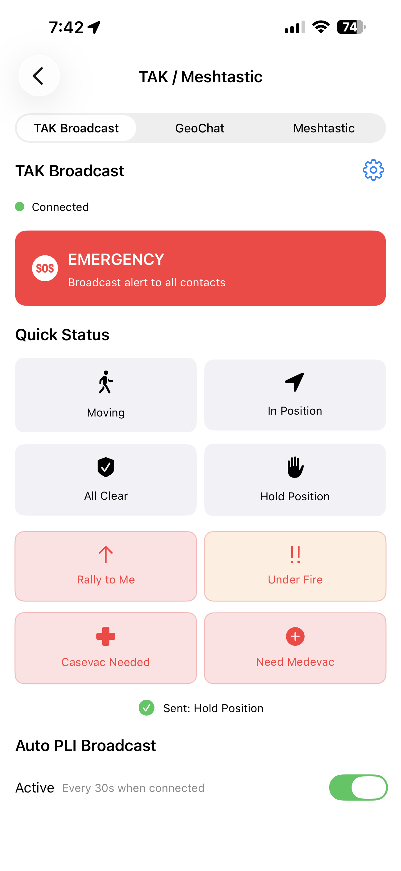
TAK Server traffic and Meshtastic mesh data feed a shared marker store so the host map can present current team positions in the same operational view.
- Receive Cursor-on-Target position markers over TAK plain TCP
- Send your position as a CoT SA / PLI report
- Show callsign, team, affiliation and current coordinates
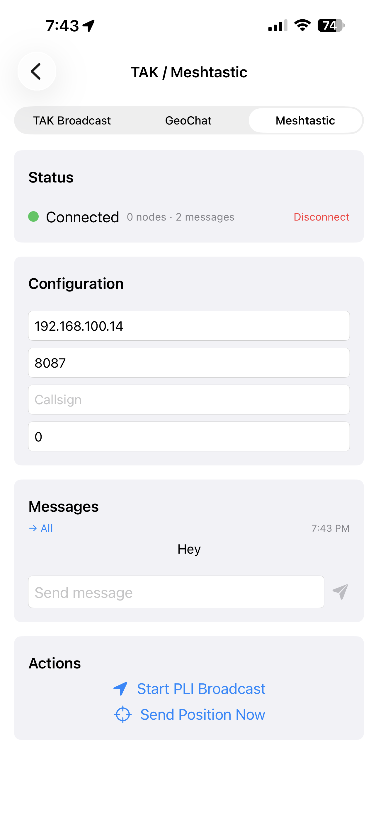
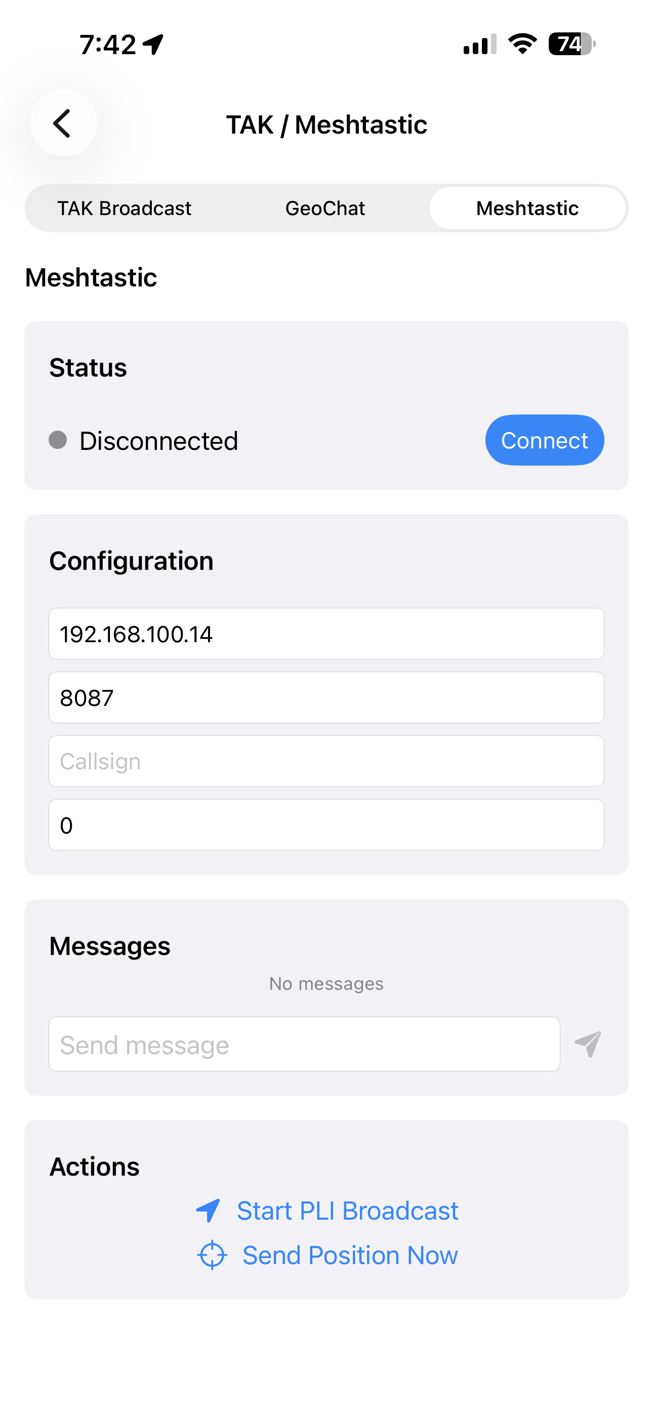
- Connect to a Meshtastic radio by TCP for mesh chat and position traffic
- Prune stale markers from the working picture
Clips from the GeoNames TAK build
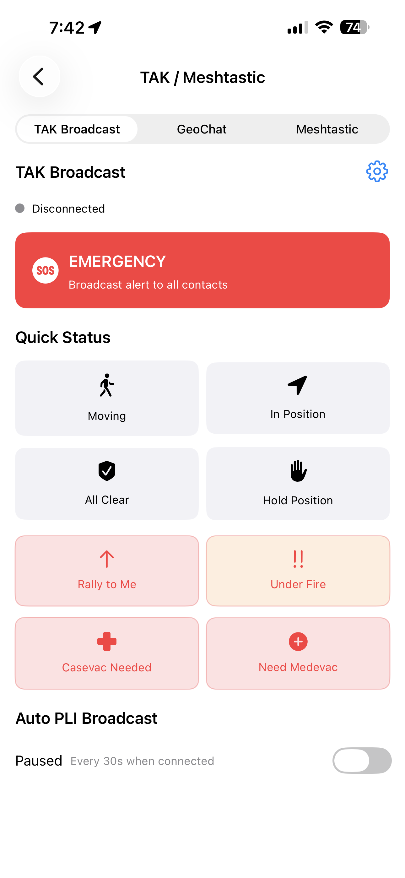
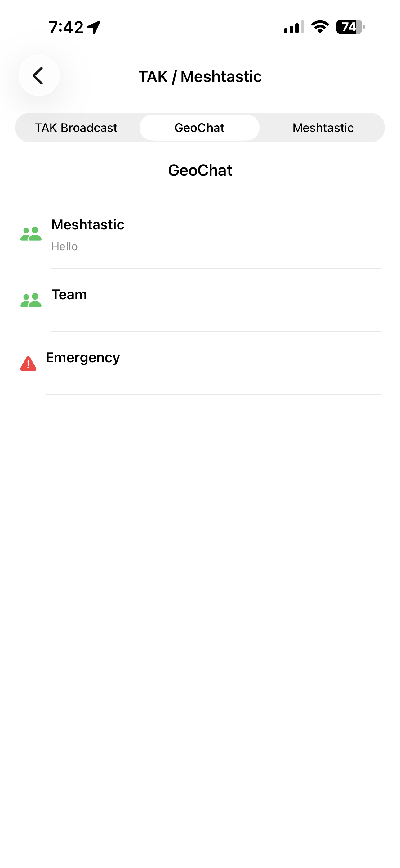
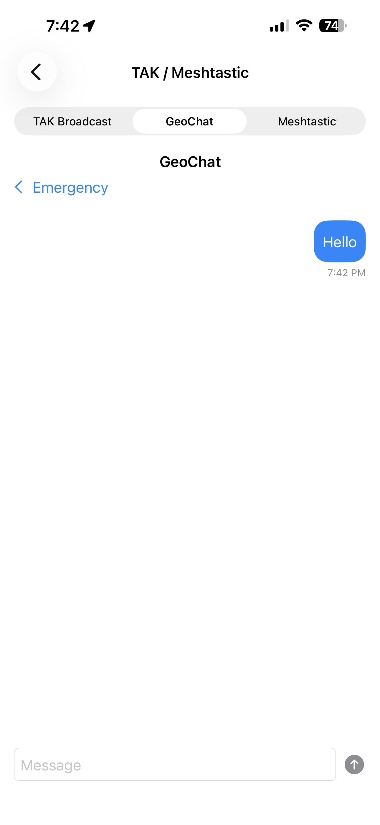
TAK Broadcast, GeoChat and Meshtastic on device
Real iOS screens from the current Field Data Collector build—status reporting, chat channels, radio setup and PLI controls.
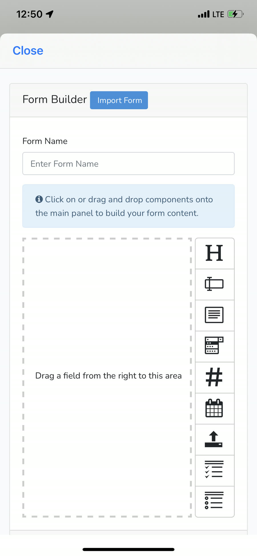
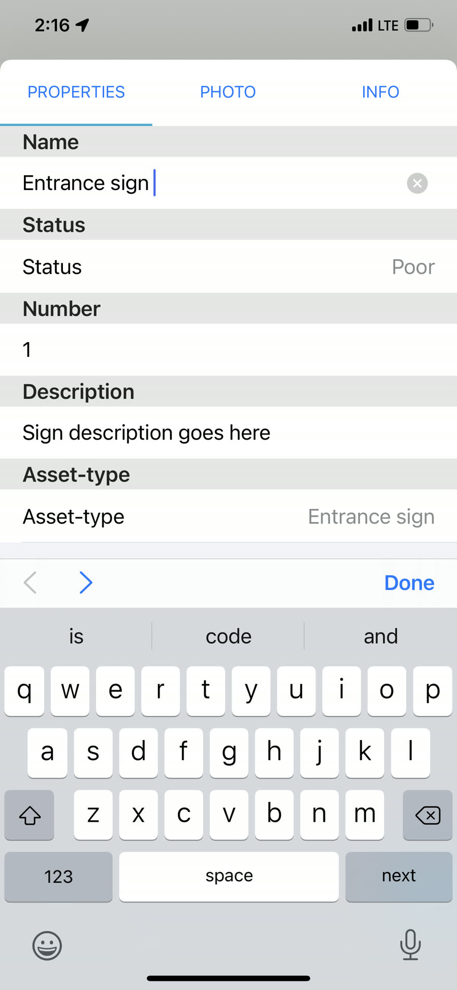
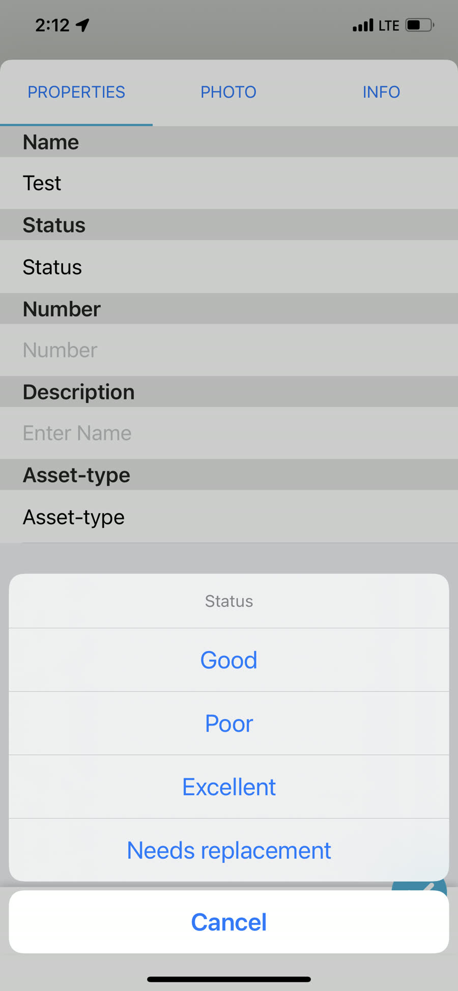
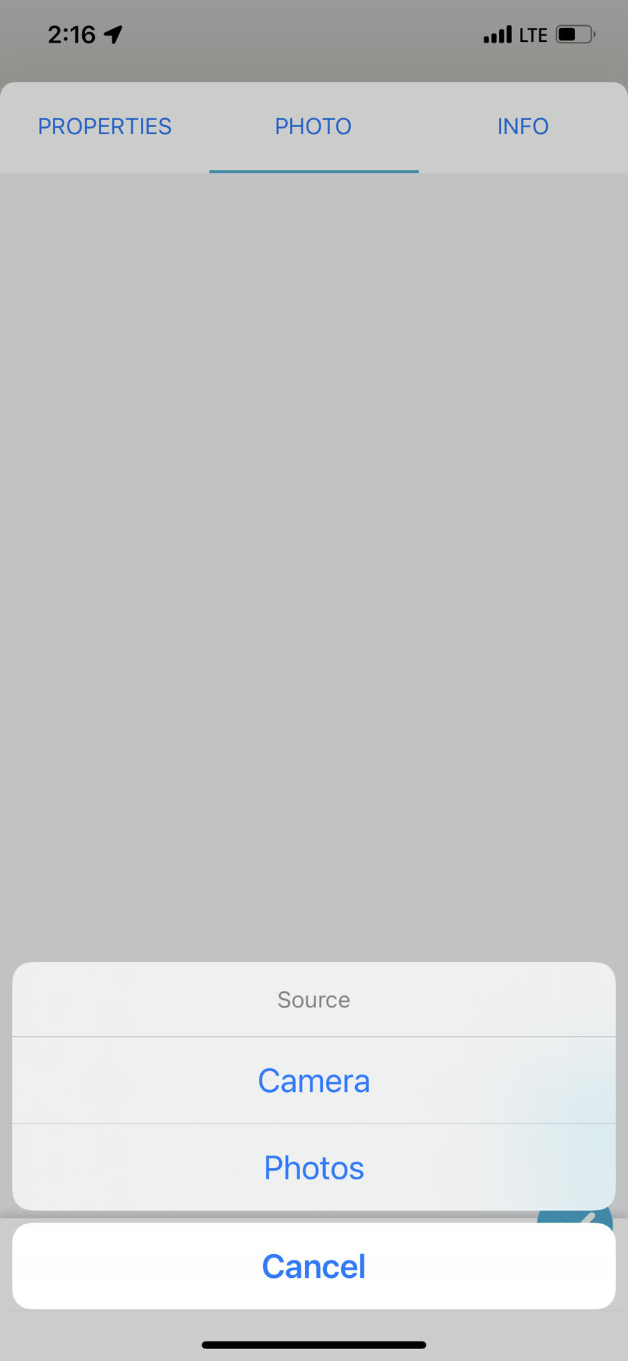
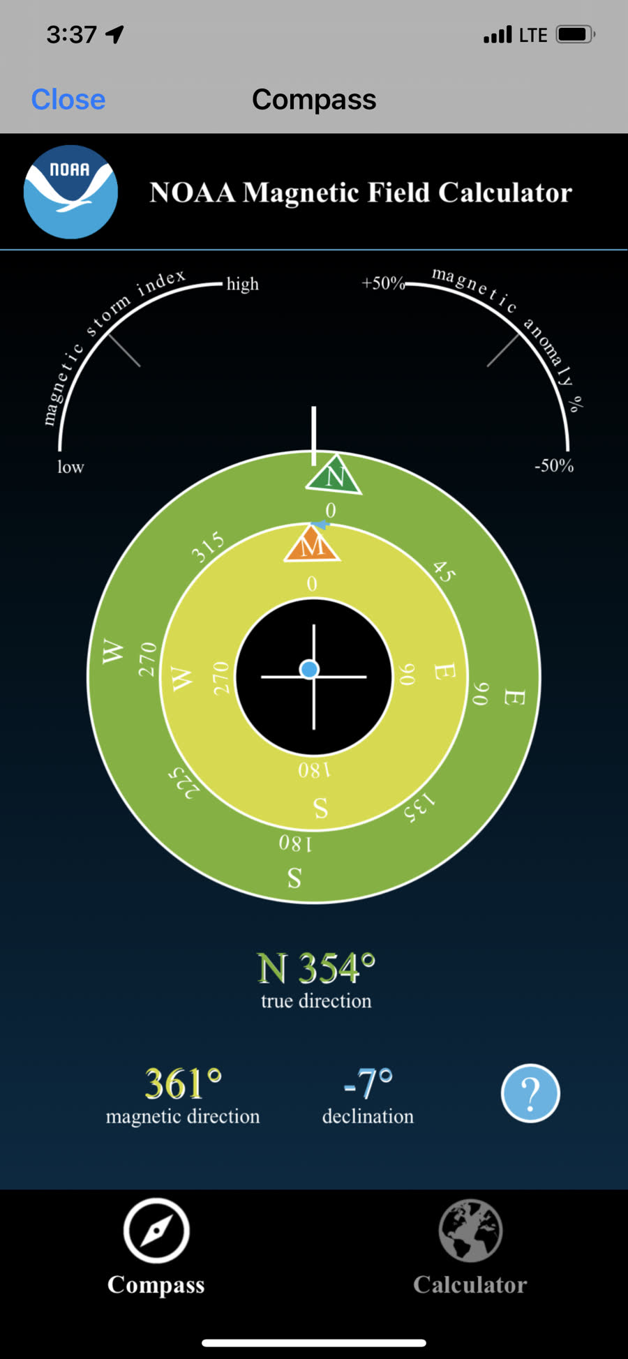
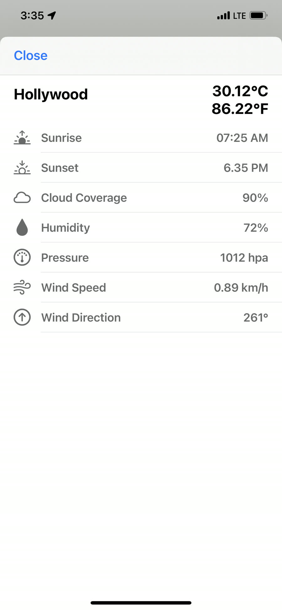
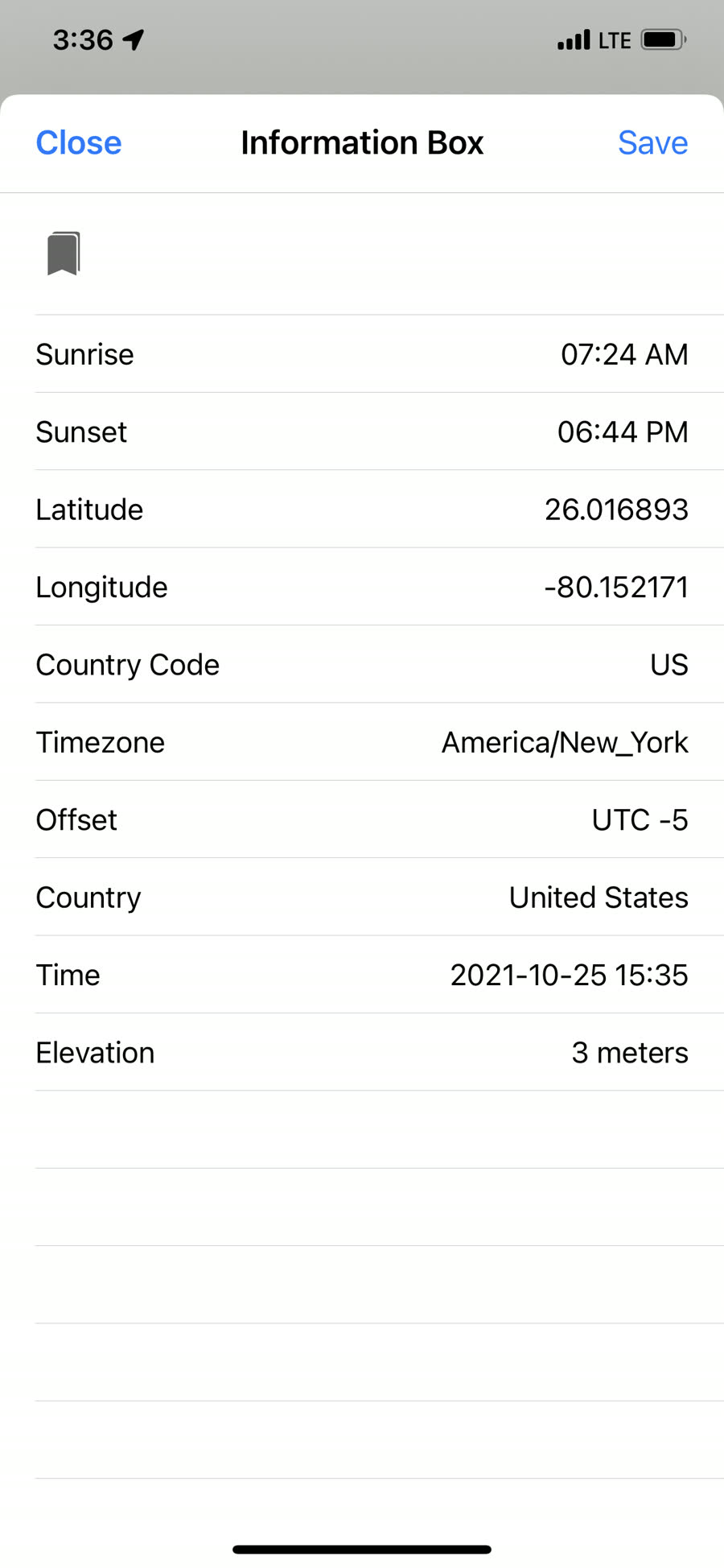
Fast access to the tools used between map taps
Field productivity lives in the small controls: a coordinate box that stays visible, a compass and scale for orientation, layer ordering, search, format conversion, weather context and quick access to active datasets.
Platform, data & field use
Is Field Data Collector a TAK app?
Yes. It is a TAK-capable iOS field app for a COP / SA / C2/C3 solution: TAK Server when a path is available, Meshtastic mesh when teams are off-grid, and one shared marker store on the map.
How much does the app cost?
This promo is 100% free, including features that were previously premium in-app purchases.
Where do I connect a TAK Server?
Use Tech Maven’s TAK Server at teamtrack.techmaven.net.
Which devices and operating systems are supported?
The current app targets iOS 17 and runs on iPhone and iPad. Android and Windows are not current release targets; Tech Maven welcomes those requirements for potential custom work.
Which offline GIS formats can I load?
The core offline formats are raster and vector MBTiles, GeoPackage raster tiles and vector features, GeoJSON features, and GPX tracks or waypoints.
Which geometry types can I capture?
The app supports point, line and polygon capture. Use a server-driven form for standardized work or the ad-hoc attribute editor for fast capture without a predefined form.
How can I share field data?
Supported paths include Dropbox, Box, Google Drive, FTP, WebDAV, local Wi-Fi browser sharing, native iOS sharing and email, along with app-specific export workflows.
Resources for the next decision
Advantages
See how open formats, direct capture and offline-first operation reduce field friction.
Compare the advantages → Clear answersFAQ
Review platform, format, forms, positioning, sharing and custom-version questions.
Read the FAQ → Shape the productCustom Versions
Explore white-label, source licensing and organization-specific integration work.
Explore custom options → ReferencePDF Manual
Open the current Geo Data Collector manual published by Tech Maven.
Open the manual →Take the job map into the field
Built by Tech Maven Geospatial for mobile mapping, geospatial data collection and team awareness on iPhone and iPad.