Capture asset, site and survey-support observations with two complementary tools: a server-driven form builder for standardized team workflows and an ad-hoc attribute editor for fast offline capture without setup.
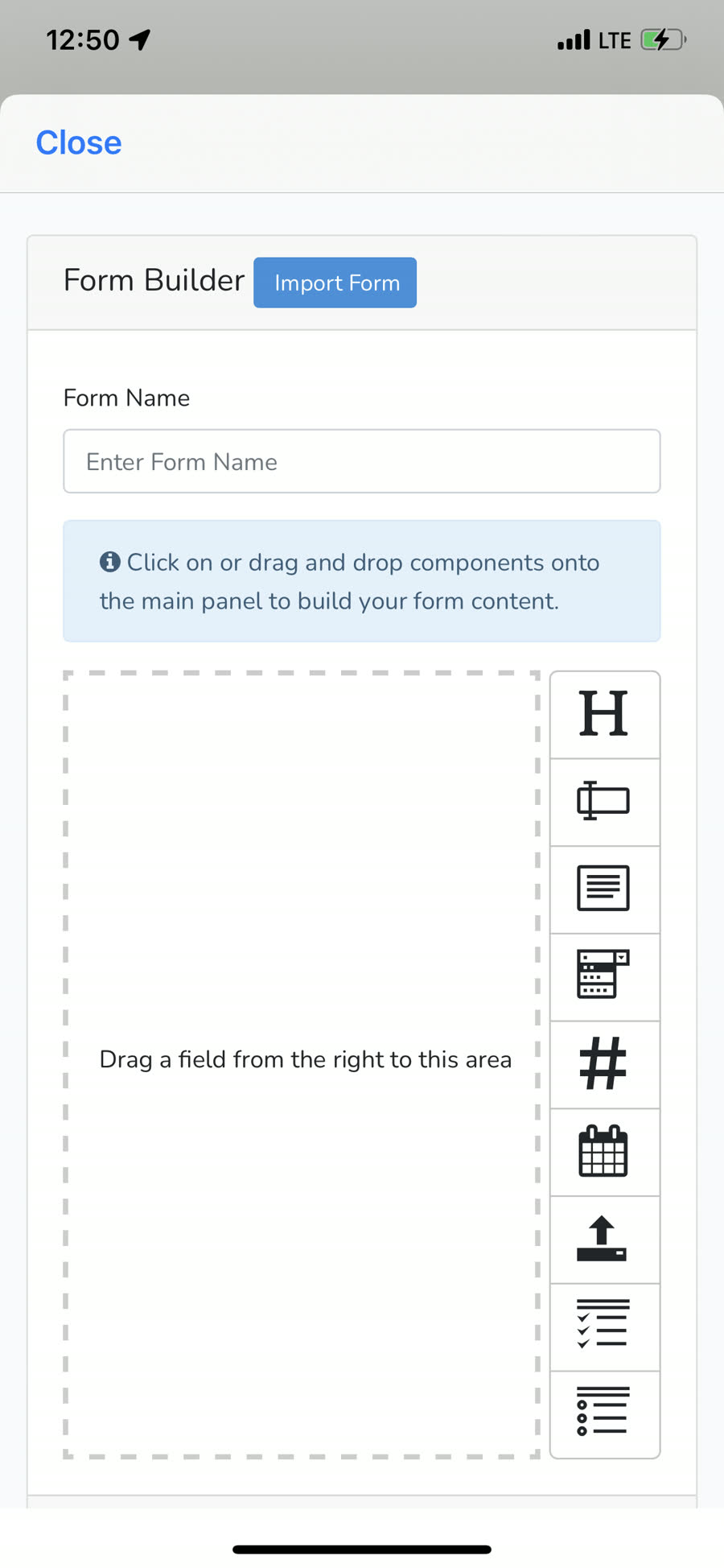
Define forms as JSON (sections → fields) and render them natively with Eureka. Design forms once, distribute to your whole team, and update without an app release.
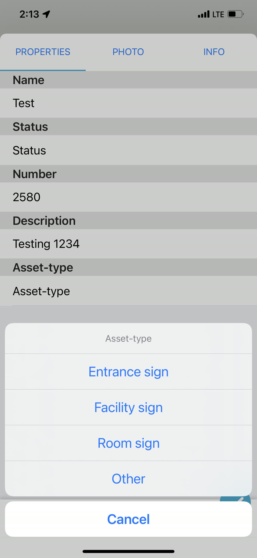
Draw a point, line, or polygon and attach typed attributes on the spot—no server or form definition needed. Ideal for reconnaissance, inspection and opportunistic mapping.
Give field values a consistent meaning at the point of capture so GIS handoff and review require less cleanup.
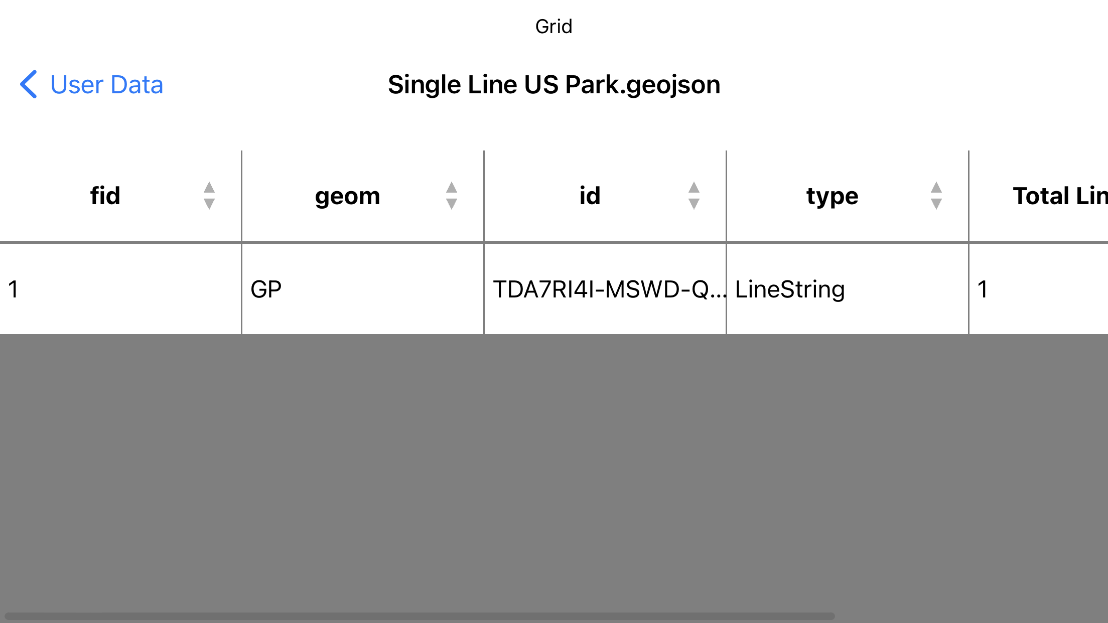
Inspect and edit feature attributes from GeoPackage and GeoJSON in a spreadsheet-style grid, powered by SwiftDataTables and an embedded MMSpreadsheetView component.
A simple, portable schema — version it, share it, and render it natively.
{
  "id": "asset-inspection",
  "title": "Asset Inspection",
  "allows_edit": true,
  "sections": [
    {
      "title": "Details",
      "fields": [
        { "name": "site",     "label": "Site name", "type": "text" },
        { "name": "height_m", "label": "Height",    "type": "number" },
        { "name": "condition","label": "Condition", "type": "dropdown" }
      ]
    }
  ]
}
Structured forms, fast offline attributes and spreadsheet-style feature review.